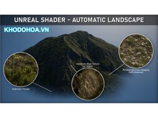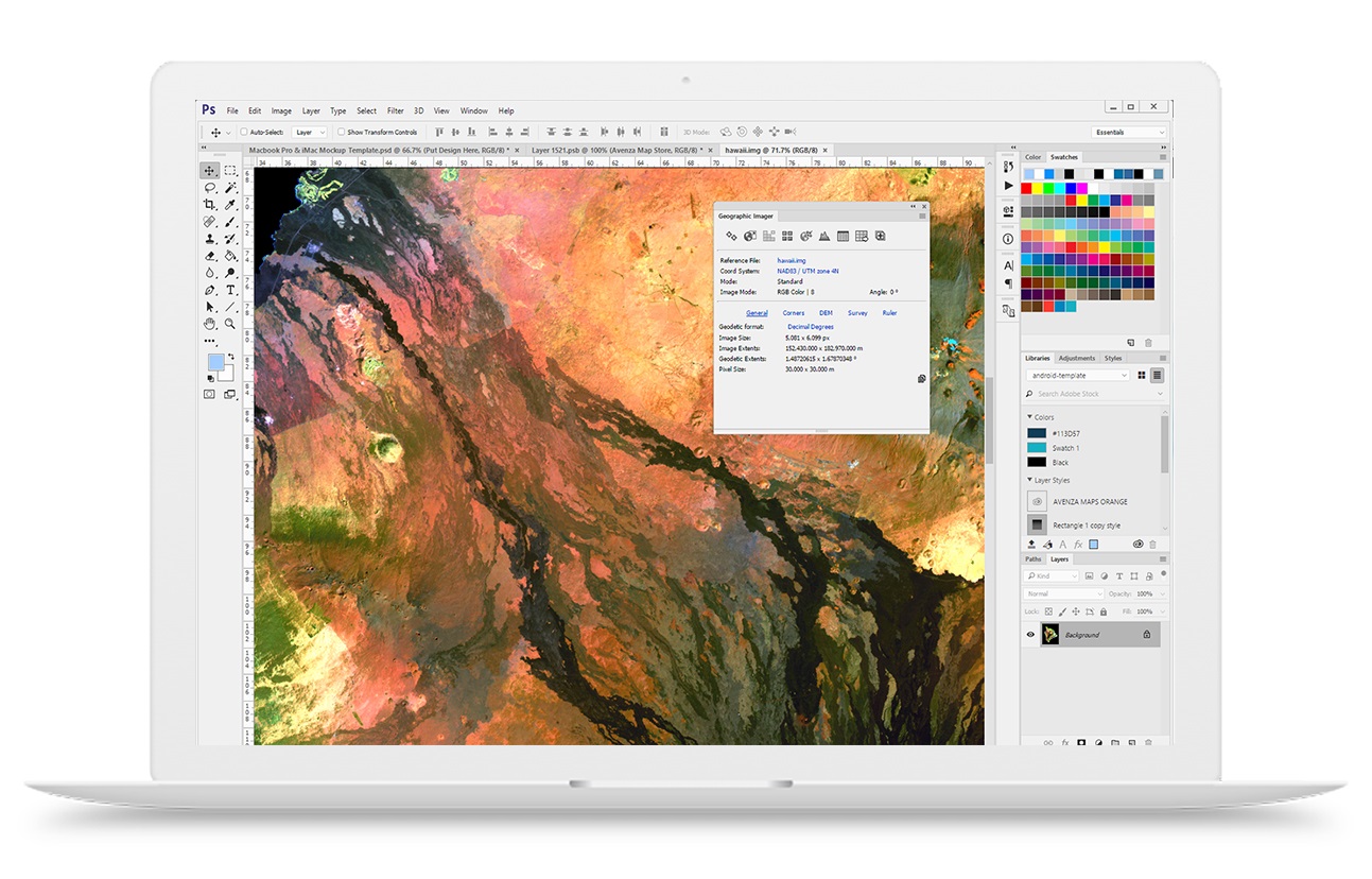
Working with raster imagery doesn’t have to be complicated. Geographic Imager® mapping software enhances Adobe Photoshop to make working with spatial imagery quick and efficient. It adds tools to import, edit, manipulate and export geospatial images such as aerial and satellite imagery. Enjoy the use of native Adobe Photoshop functions such as transparencies, filters, pixel editing, and image adjustments like brightness, contrast, and curve controls while maintaining spatial referencing.
Mosaic and tile images, transform projections, georeference and rectify images using an easy and interactive workflow. Batch-process your imagery using Geographic Imager and Adobe Photoshop scripting capabilities. Geographic Imager supports GeoTIFF in Adobe Photoshop and many other industry standard raster formats.
Geographic Imager has the ability to create map packages fully compatible with the PDF Maps app for iOS and Android. Map publishers who sell maps can upload map packages directly to the PDF Maps Store.
Geographic Imager is a great companion to MAPublisher for Adobe Illustrator—prepare images in Geographic Imager and use them in MAPublisher. Geographic Imager is also available in a Basic license.
code : https://docs.google.com/document/d/10_2Jp80FNyihqa-WEBcKsyCjOr27WQI3tnD-h8dR6Z0/edit
-----------------***---------------
Hướng dẫn cách tải về (dowload): http://khodohoa.vn/hot-trend/huong-dan-cach-tai-ve-tai-nguyen-tren-web.html
-----------------***---------------